There used to be, and maybe still is, a local Orienteering club that made a VERY detailed map of the state park I mentioned earlier. The map was on waterproof paper and showed, root balls, trails, old fences that were in the dirt, other minutia, as well as major land marks. Very detailed it was.
I used to to take the map, plot a course through the woods. The course would be of so many paces/feet on a given compass bearing, then take a new bearing at an large angle to the previous bearing, go to the end of the distance, repeat until I got to where I wanted to go. I would pick the end points to be a very specific spot, like the south east corner of a cemetery in the woods. This would tell me if I was following the bearings correctly and counting off my paces accurately.

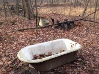
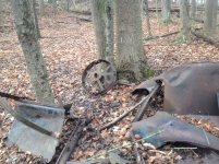
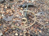
This park is about 6,500 acres so it is quite large and used to contain farms, a quarry, grist mill, etc. Even now it has places that are abandoned since the park was built that are interesting places to find in the woods.
One day I went for a hike and plotted a course that had three or four different bearings to take, all off trails, over ridges and across valleys, and if I did things correctly, would take me to the SE corner of a cemetery in the woods. Off I went...
I got to the last leg of the course and was heading to the SE corner of the cemetery and got into some blown down trees. LOTS of blown down trees. Kinda messy it was. I was having to climb over or under trees and the going was slow and messing up my pace count.

:laughing::laughing::laughing: I am kinda in the middle of this large park, a good mile or so from the nearest trail, slowing wadding through this morass of downed trees and briers, at a point very few people have every been, or so I think, when I look down and see a bit of white paper. :confused3: I did not have to bend down much to pick up the paper, which I figured had been blown in by the wind. The paper was about 2x3 inches in size and when I flipped it over, it was a part of the Orienteering club map! :shocked:

:laughing::laughing::laughing:
It seemed that someone had walked this random path through the woods a month or so before I picked the route and walked it. :shocked: They had cut up the map, which I thought was a bit odd and kinda expensive since the map was not cheap, and dropped the map piece walking under/over the downed trees. I am guessing that they had picked the cemetery as an end point or maybe a starting point but WHY they followed the same route through the woods as I did is kinda freaky. There was no REASON to pick this route but at least two of us did. <Insert Twilight Zone Music>
On any of the other 2-3 bearings I had picked, if I had walked another 10 or 20 steps or paces, and then turned towards the last bearing to the cemetery, I would not have found that small piece of paper. The only way to see that small map portion was to walk EXACTLY in the same steps as the other person. <Insert Twilight Zone Music>
Did the person make it out of the woods without there map piece? :confused3::shocked:


<Insert Twilight Zone Music>
Later,
Dan


