Here is Part 1
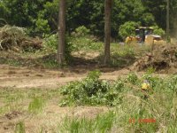
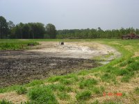
After a long delay, Stan, the pond man, called Wed. afternoon and asked to meet me onsite Thur. to discuss the plan to make sure we where on the same page. I took a few pictures of the dry pond.
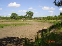
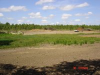
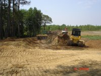
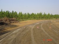
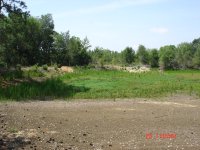
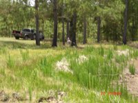
The first picture shows the east bank and the northern end of the pond. It also shows the island but it's hard to see. The east bank will not change. Fill will be added to the right of the bank since that area is lower than the bank and stays wet if and when we have rain.
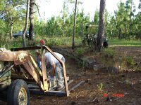
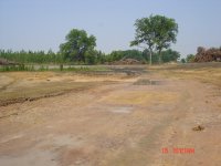
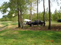
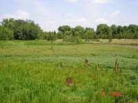
We're in an extreme drought now. The experts say we're having the driest May on record. I was curious as to why there was a large bare area here. I took a shovel and tried to dig a hole and saw that there was about a half inch of sediment and then pure hard clay.
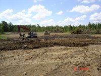
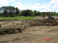
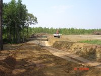
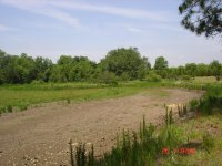
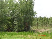
The second picture shows the dam. It will be de-constructed. The new dam will have a larger footprint and constructed properly, i. e. cored, wider base and top, etc.
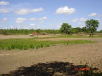
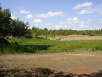
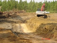
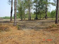
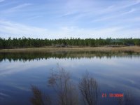
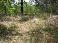
The third picture was taken from the dam looking northeast. It also shows the island. Some of the old longleaf pine stumps still have the notches in them from when the turpentine was harvested. The north end was very shallow, swampy, etc. Stan couldn't give us a firm quote until he "uncovered" the north end to see what had to be done.
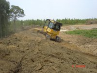
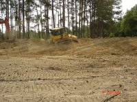
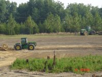
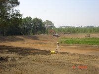
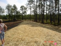
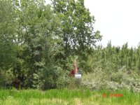
After a long delay, Stan, the pond man, called Wed. afternoon and asked to meet me onsite Thur. to discuss the plan to make sure we where on the same page. I took a few pictures of the dry pond.
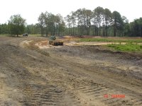
The first picture shows the east bank and the northern end of the pond. It also shows the island but it's hard to see. The east bank will not change. Fill will be added to the right of the bank since that area is lower than the bank and stays wet if and when we have rain.
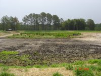
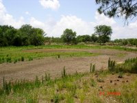
We're in an extreme drought now. The experts say we're having the driest May on record. I was curious as to why there was a large bare area here. I took a shovel and tried to dig a hole and saw that there was about a half inch of sediment and then pure hard clay.
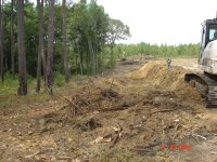
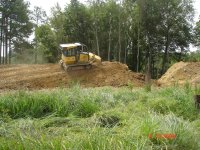
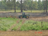
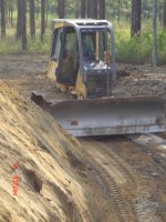
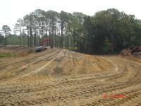
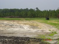
The second picture shows the dam. It will be de-constructed. The new dam will have a larger footprint and constructed properly, i. e. cored, wider base and top, etc.
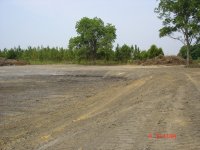
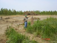
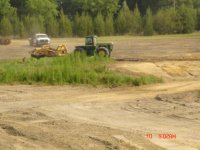
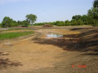
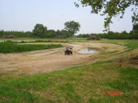
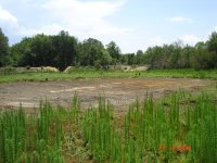
The third picture was taken from the dam looking northeast. It also shows the island. Some of the old longleaf pine stumps still have the notches in them from when the turpentine was harvested. The north end was very shallow, swampy, etc. Stan couldn't give us a firm quote until he "uncovered" the north end to see what had to be done.


")