dave1949
Super Star Member
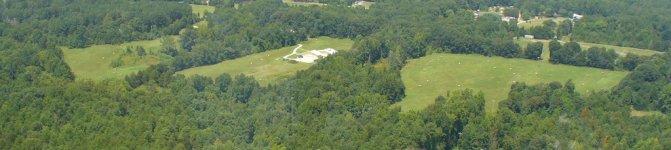
Here's mine. I took these myself...job perk.
Gratuitious shot of the trusty steed.
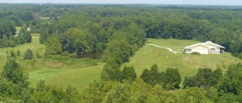
Nice pic. Those trees must be following a drainage of some sort? Where are you located ?
Dave.
Here's mine. I took these myself...job perk.
Gratuitious shot of the trusty steed.
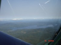
 (My brother lives on Eagle Ridge road- apparently, the T-6 is rather loud, coming out of a dive at 170+ knots....)
Nice pic. Those trees must be following a drainage of some sort? Where are you located ?
Dave.
Sadly I do not have ready access to a plan or chopper. Does anyone know how to copy photos from google maps sattelite or any service like that?
Sadly I do not have ready access to a plan or chopper. Does anyone know how to copy photos from google maps sattelite or any service like that?
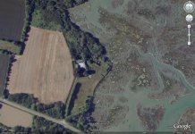
I can't fly but here is the Google Earth picture of my place in Brittany. The grey/brown right half of the photo is our side of the Atlantic ocean, apparently taken at low tide.