Heath
Silver Member
I don't have much experience with GPS, so I'm not sure if this can be done or not.
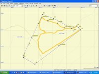
I've got a little over 5 acres with 2 buildings on it. I'd like to do some trail building and additional construction of some more buildings. I'd like to generate a map of my property that shows the locations of the buildings and some geographical features. Can I buy a GPS and mapping software that will allow me to lay out waypoints that can be downloaded into a mapping application that wwill allow me to make my own map? The map will only be good to me if it's to scale.
I think I'd mark out the corners of the property lines, the corners of the buildings, and also show edges of concrete pads, driveway locations, and other property highlights.
Does anyone know if this can be done? Has anyone done this? I know that GPS is now accurate to within a few inches since the military released the last few coordinates in their GPS grids to the public, so I don't think accuracy of GPS will be an issue.