Best Way to Measure Elevation Profile of Land?

   / Best Way to Measure Elevation Profile of Land? #21  
I used tou have a very cheap level that had a laser out the end, you could mount it on a tripod. As I said though, it was cheap (like $30) and the laser was hard to see in even moderately bright light and I just didn't really trust it.
 
   / Best Way to Measure Elevation Profile of Land? #22  
I have rented a GPS unit from a surveyor equipment company. It helps A LOT if you are within some regional correction signal zones (I forget the exact name for it). They have a couple zones around the Twin Cities here, and if you are within those, great. If not, you are in the general GPS zones and you get what you get. What they rented me was a simple handheld unit that they preloaded the coordinates I wanted into it. It came with a surveyors stick, a mount and an external antenna to PU the best correction signals. It was not perfect, but you learn things about GPS. They work far better when you are moving. If you park the stick somewhere and then move it 6", you will not get a good reading, but if you back up 10' then walk towards your target slowly, you will get a great reading. Now mind you, this is surveyor quality GPS stuff, but it still only cost $100-150 to rent it for the weekend, and they even trained me on using it. Wasn't real hard, but I would have been lost without that time they spent with me. Only took me a couple hours, but you might need to spend a good chunk of the weekend on yours. It can save points as well as direct you to points you have input ahead of time.

It was a Trimble GeoExplorer of some sort. They change models frequently, but that was the type of unit, for reference.
 
   / Best Way to Measure Elevation Profile of Land? #23  
That is pretty cool... not something I would have expected to be able to rent.
 
   / Best Way to Measure Elevation Profile of Land? #24  
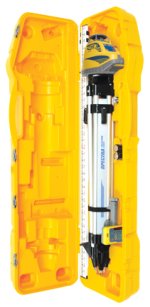
If you're planning on building a road and a house then I would do as I did and buy something like this. They usually sell for about $700 give or take but you can find them in good shape used on eBay for a few hundred less. You are going to find that you will want something like this while building a road, installing culverts, running septic lines, etc. Once your done you should be able to sell it for a few hundred less than you paid. Plus it's a one person system that's very accurate.
LL300 Laser Level - Spectra Precision
ll300_guncase.jpg
 
   / Best Way to Measure Elevation Profile of Land? #25  
This sounds like a good project for a university "intermediate surveying" class. An engineering/gis department might be a resource for loaner equipment as well.
 
   / Best Way to Measure Elevation Profile of Land?
  • Thread Starter
#26  
Thanks for all comments everyone! Great idea skylark!

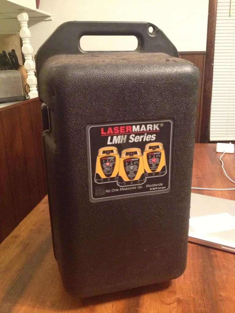
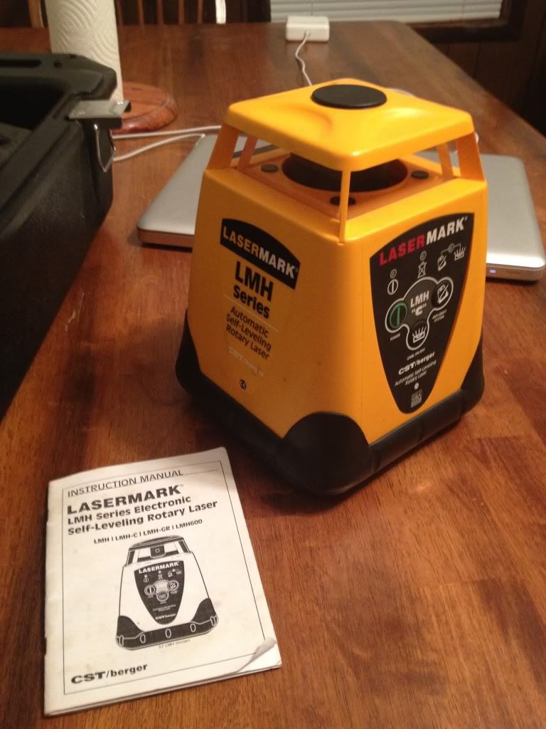
It turns out that my father-in-law had a laser level in his garage he has never used. He bought it at a garage sale a while back. It is missing the reciever and tripod. I don't necessarily need a tripod and I think I can order a reciever online.

null_zps53992b91.jpg


null_zps6c325f27.jpg
 
   / Best Way to Measure Elevation Profile of Land? #27  
Well that should work, why didn't you tell us about that sooner? :D
 
   / Best Way to Measure Elevation Profile of Land?
  • Thread Starter
#28  
Well that should work, why didn't you tell us about that sooner? :D

:laughing:

I just checked Northern Tool and found a receiver and measuring rod for $140.

It crossed my mind to try it out at night and see how far the laser will go! Now I'm just being a tight-wad...

I'll do a little more research and ask a few more people around here before ordering one. If my FIL had a self-leveling rotary laser in his garage I'm bound to find someone around here that has a receiver I can borrow! :)
 
   / Best Way to Measure Elevation Profile of Land? #29  
I'm not sure if you can do this in the free version of Sketchup, but I've done some pretty accurate terrain modeling by "draping" google earth terrain data over a Sketchup model. Do a search on You Tube for sketchup terrain modeling.
 
   / Best Way to Measure Elevation Profile of Land?
  • Thread Starter
#30  
Thanks rwork I will look into that. Last night I made a grid on google earth using the path tool, then measured off 40'x60' rectangles to make a grid. I then manually entered the data into Sketchup to get a rough model. This seemed to work okay but I won't be satisfied until I take my own measurements! :)
 

Tractor & Equipment Auctions

Skid Steer Fork Attatchment (A50860)
Skid Steer Fork...
2014 Chevrolet Silverado 2500HD Knapheide Service Truck (A48081)
2014 Chevrolet...
Falcon Power 4-Gallon Air Compressor (A50860)
Falcon Power...
Blue-Jet Liquid Fertilizer Applicator (A51039)
Blue-Jet Liquid...
2014 John Deere 635F Grain Platform (A50657)
2014 John Deere...
2022 Chevrolet Tahoe SUV (A48082)
2022 Chevrolet...
 
Top