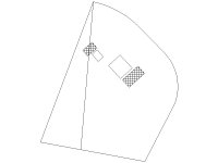
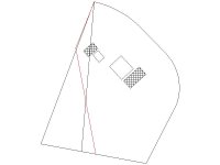
schmism said:that doesnt always work. Boundries writen by lawers often dont close because they lack the techincal expertise to properly lay it out. Or a discription of "owns the northwest corner of the northwest quadrant of the 4th district etc) is by rule, a _____ tract of land (50 acers or something) a boundry is then writen up later that specifies angles, distances. 1) that discrption doesnt close, and 2) comes up with 48.5 acers.
Most people can not walk a 375.45' line heading 34.589 degees westing and expect that your buildings are were they are supposed to be.
his (incorrect) deed could have been writen up to close, useing the wrong starting cords. so you could walk the perfect boundry as recoreded and assumed your buildings were well inside it. only problem is, it was off
News flash: nothing always works. Thats why I said that mistakes can often be caught, and not, always be caught.
Yes, if it is barren undeveloped land you may not be able to catch a location mistake.
But, you don't have to be a surveyor to read from the legal description that your lot is 375.45' wide and measure from the pins, stakes, fences, or assumed boundary and see if there is agreement. Measuring from the center of the road to find the back edge of the property is also generally, a simple task. Sure, you may not notice a mistake of a few feet. But, you certainly could catch a big mistake. And, at least you can plant the tree in what measures to be your yard, instead of assuming.
Last edited:


